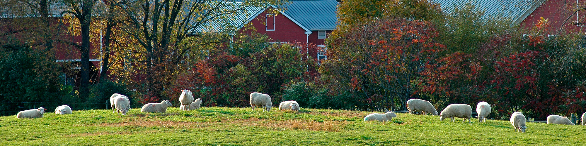
Land Use in Chatham, NY Numbers quoted below are from the 2004 Keep Farming study and do not include all land and animals in the town. How Land Is Used in Chatham Of the 7,725 acres in the study: 5,119 acres are tillable (65%) 1,372 acres are pasture (18%) 827 acres are wood lots (11%) 198 acres are wetlands (3%) 200 acres are used for other purposes such as barns and other buildings (3%) How Farmland is Used Of the 7,725 acres in the study: 4,965 acres are dairy farms (64%) 1,144 acres are sheep farms (15%) 744 acres are mixed livestock and other farms (10%) 475 acres are horse farms (6%) 397 acres are produce farms (5%) Use of Tillable Land Of the 5,119 acres of tillable land in the study: 1,180 acres are grass silage, haylage, green chop (24%) 1,015 acres are grass/mixed hay (20%) 885 acres are corn for silage/green chop (17%) 785 acres are alfalfa (15%) 7 40 acres are corn for grain or seed (14%) 83 acres are vegetables and fruit (2%) 431 acres are other crops (8%) Types of Farm Animals Of the 3577 farm animals in the study Sheep & lambs Poultry 125 Goats 1 Alpacas 50 Horses 172 Hogs & pigs 20 Total cattle 1809 Milk cows 931 Heifers & heifer calves 770 Steers & bulls 24 Beef cattle 84 GIS (Geographical Information System) Maps including: Roads and Property Boundaries Map, Topography Map, Watershed Map, Water Features Map, Steep Slope Map, Bedrock Geology Map, Surficial Geology Map, Property Class Map, Agriculture Map, Farmland Map, 1994 Aerial Photo Map and 2001 Aerial Photo Map.